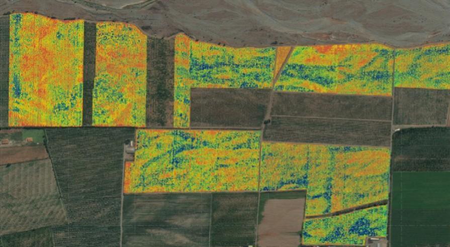
[vc_row][vc_column]Our online service process aerial multispectral maps and NDVI maps from imagery captured by drones for crop monitoring.
NDVI is a vegetation index to analyze the health of crops and is useful for monitoring crops, crops disease detection, weed detection, field work planning, harvest planning, save on fertilizer costs, save on pesticides costs and improve water distribution.
These maps are a powerful tool to make decisions.
SHARE