Background
Our client is a multinational company, leader in the construction and operation of high-capacity road infrastructures and intelligent mobility solutions, with a presence in 10 countries and a turnover of more than 5,000 million euros.
Driving innovative solutions for more efficient, safe, and sustainable mobility, they invest more than 1,000 million euros a year in technology and engineering, with the objective of improving customers experience on the road.
Transport infrastructure management requires continuous control and maintenance. There are many assets that require special control and monitoring, in particular roads, bridges, tunnels, retaining walls, slopes, etc. There are maintenance programs to control them all, and multiple technologies to monitor the condition of all asset’s components.
The challenge
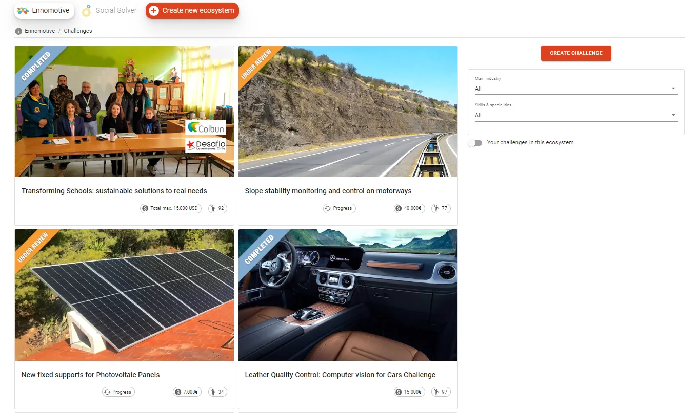
There are different types of slopes: natural or artificial (of filling lands), with small retaining walls, rock or sand, with abundant vegetation... (photographs with examples are attached).
The control of slopes over 5 m is performed through visual inspections. Such inspections are quite subjective and do not rely on any available technology to improve the quality/cost ratio, reduce assessment errors and reveal non-visible pathologies. All this to anticipate and reduce the risk of landslides.
Slope visual inspections perform a series of checks and complete an inspection form (examples of forms for a slope over 3 consecutive years are attached). In some cases, a detailed geological study is available, which serves as a starting point (an example sheet is attached).
Depending on what the inspector appreciates and the checks to be performed, a condition/risk degree is established for the slope. According to such degree a risk classification is assigned and actions to reduce the risk might be triggered.
The key challenge is the "identification of the landslide risk" before it occurs, because when it starts it is too late to react.
What the client is looking for
Our client is looking for efficient alternatives for the management and stability control of slopes over 5m, in front of events such as atmospheric conditions and earthquakes. The future control system should enable warning indicators to monitor incidents and abnormal movements, with the purpose of minimizing risks.
In addition to proposals from slope specialists, our client is willing to receive other potential solutions, such as:
- companies from other sectors
- technology centers and startups
- engineers or academics individually or in teams
with innovative approaches, such as methodology or processes, indicators to be measured, single or multiple monitoring technologies, collaborative approaches, or with any other disruptive element.
Proposals with partial solutions are also welcome, i.e., to measure a subset of the needed indicators for some type of slope or risks.
Since there is a need to control thousands of slopes, it will be difficult to keep them all monitored at an affordable cost. Consequently, different monitoring technologies might be used according to the slope typology, actual status and risk.
We foresee different technologies/solutions that combined will optimize the control cost-risk factor: a low-cost technology for a large majority of low-risk slopes, and other higher cost solutions when the risk is higher.
The ultimate goal is to implement a system that automates the monitoring of slopes, minimize risks, and anticipates to landslides impacts. Consequently, selected proposals will be validated by one or more pilot tests. The system shall be able to learn and improve its efficiency during time
System scope
Our client is looking for a system to monitor and control slopes providing the following functionality (partial or full):
1. Input data for each slope
The system shall automatically (if possible) or manually capture the input data of each slope (inventory sheet), or even calculate some of them by itself, including for example: Location, Typology, Geology, Geometry, Historical data…
2. Indicators to be measured on a regular basis
The system shall measure automatically and at a certain frequency, using satellite, mobile tools, sensors, or any other technology, any or more of the following parameters:
- Presence of water: Soil moisture, surface water streams. rainfall, water table
- Mass movement, sliding (movement of specific points of the slope)
- Support and protection systems: Load variations, displacement anchor bolts, mesh break
- Seismicity: Magnitude, Frequency, Direction and Location of the source
3. Area to be monitored
The system should also help to control the slope local area. Today, a maximum length of 1 km around from the road axis is monitored and within the state property. A nice to have would be the ability to go and perform an analysis beyond the domain of the road, including nearby geographical features such as rivers or streams and other variables specific to each slope.
4. Result: Criticality degree
As a result, the system must be able to determine whether there is instability in the slope to assign a degree that indicates the criticality or level of risk for each slope before the main events: Atmospheric conditions and Earthquakes; and have warning indicators.
A proposed solution shall specify at least:
- Indicators: Measured indicators, alert thresholds, estimated reliability.
- Technology and documented evidence of successful use in a similar (or related) process, if any.
- Algorithms. Consistency, interpretation, and specification of data.
- Ideally the system produces a 3D digital model of the slope with a risk detection.
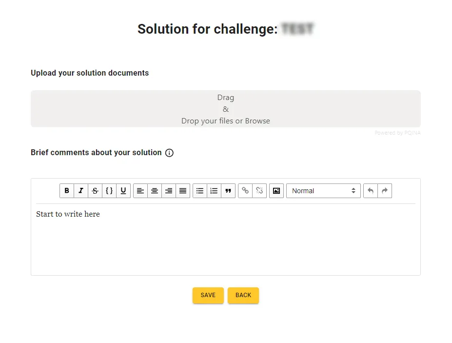
- You should fill in the summary template provided as an annex for each proposed solution (upload it in excel format compressed in a zip file).
In the case of proposing several solutions, each should be specified separately (as an independent solution) and detail in another document and explain the proposed applicable use-case and the resulting mix of solutions to monitor the different slopes.
Initially, it is not a matter of completely replacing the current visual inspections, but of providing assistance, while proving that the new system provides sufficient reliability in the measurements.
*See ANNEX "System Scope" where each section is detailed (it is necessary to register and accept the challenge to have access to the attachments).
Proposal for a pilot test
A proposal must be submitted to conduct a pilot test on one of the client existing slopes. Such proposal shall contain:
- Specification for executing the pilot test: Technology to be used, pilot scope, required equipment, estimated phases and duration and level of proposed support.
- Quotation, to be defined by the solver. A priori you might consider a 20.000 € base budget for the pilot. However, quotations will be assessed according to the proposed scope by the solver, not limited to the mentioned budget.
- Strategy for scaling the solution and become a supplier of the company in the different countries.
Evaluation criteria
Proposals will be assessed according to the following criteria:
- Evidence of system feasibility (solution maturity, reliability, etc.)
- Lower complexity of the solution (space requirements, use, equipment...) and ease of implementation
- Frequency of availability of measurements
- Lower estimated solution costs
The 3 finalists selected will have a meeting with the client to defend their proposal. There may be one or more winners with complementary solutions.
This is a challenge with one-round of submissons with the following deliverables:
A PDF document that includes the points described above.
This is a 1-round challenge with the following deadlines:
- 6 weeks for submission (the deadline is July 24, 2023)
- 4 weeks for evaluation
Confidentiality
According to general terms and conditions.
Intellectual Property
The ownership of the IP and the assignment (or not assignment) of rights to use the solution will be defined by the participant in the proposed solution.
If nothing is mentioned by the participant, the general terms and conditions will apply.


